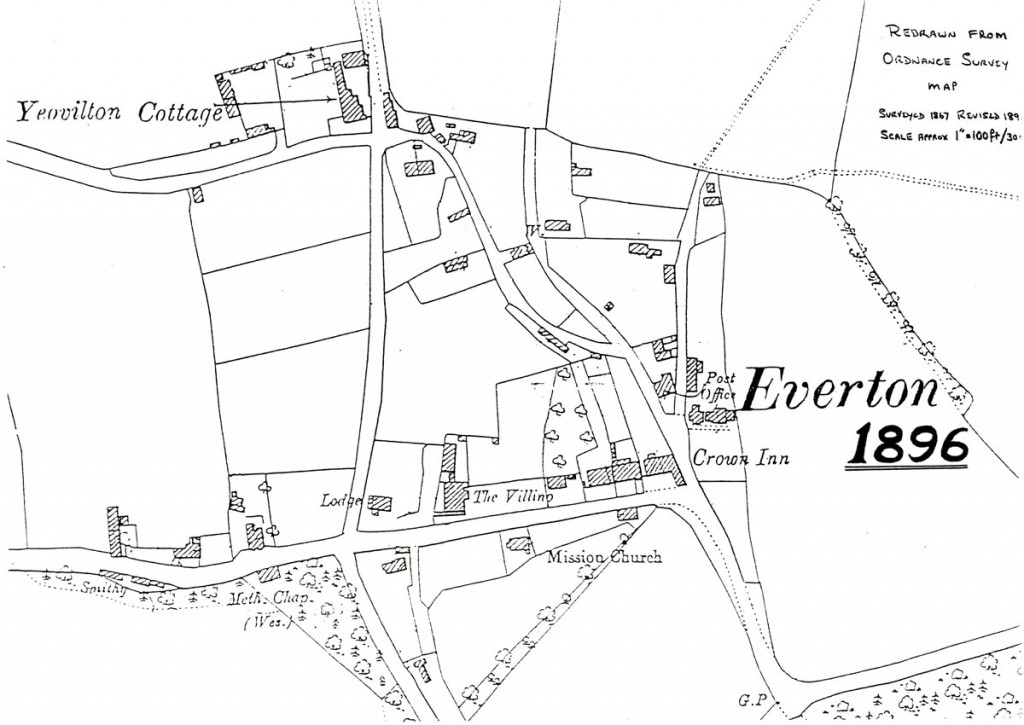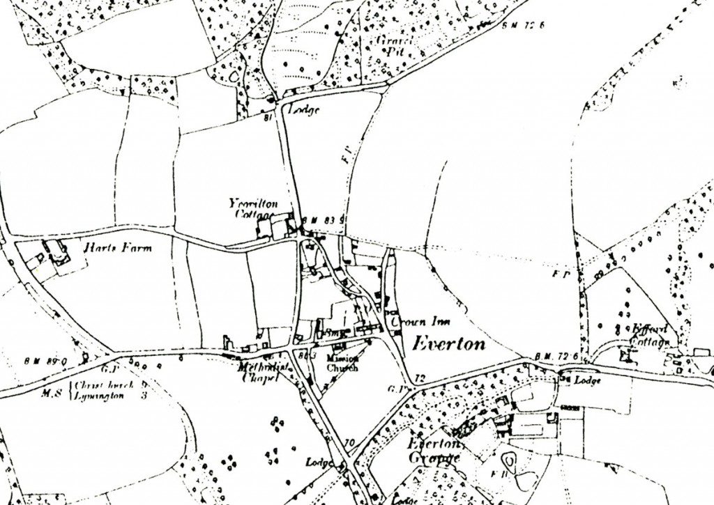


Everton Village, Hampshire
Welcome to Everton Village. The village lies on the southern edge of the New Forest National Park near The Solent coast in Hampshire. It is less than three miles west of Lymington and two miles north of Milford-on-Sea.
The name of the village has evolved from older ones such as; Iveletona, 1200-1299 but Ivelton recorded in 1272; Yevelton, 1346; Evelton, 1646-1810. We’re fortunate that the spelling from the 1600s-1700s no longer applies: ‘Evilton’.
Some people still referred to the village as ‘Yelverton’ as late as the year 1900. These old names explain the titles of Yeovilton House, Yeovilton Close and Yeovilton Place still found in the village today.
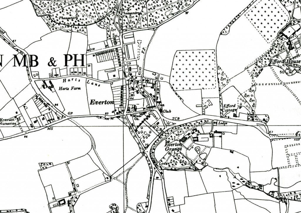
A neighbouring manor was called Efford. It was noted in the Domesday Book and still exists immediately to the east of Everton.
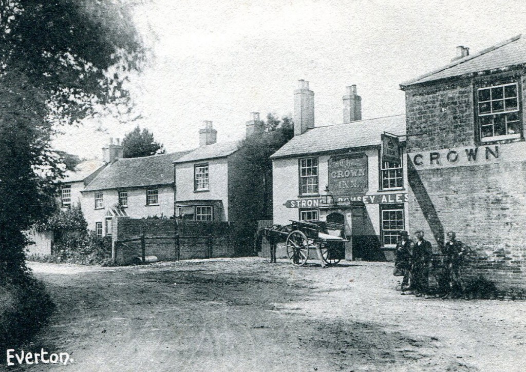
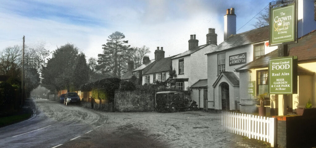
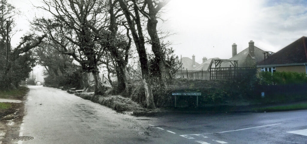
The village was little more than a scattering of a few houses and farm buildings for hundreds of years. Parts of the historic road that took travellers west from Lymington to Christchurch still passes through the village. However, a bypass of the A337 now takes all but local traffic along its southern border. Administratively, Everton is part of Hordle Parish.
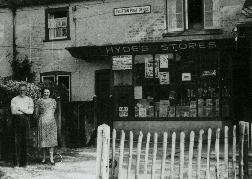
Everton today is a thriving village with approximately 1000 houses and a diverse population. At the heart of the village is the Post Office and Stores, The Crown Inn, Everton & Lymore Social Club and Pavilion and Recreation Ground (click for Local Amenities). There are a variety of local clubs and groups to join.